

Land Surveyors in Whitchurch-Stouffville, Ontario
RS Surveying Ltd is a professional geomatics and land surveying company serving Whitchurch-Stouffville, Ontario and surrounding areas. The company provides accurate surveying, mapping, and engineering support services for residential, commercial, and land development projects. Using modern geomatics technology and reality capture drones, RS Surveying Ltd delivers precise data collection, mapping, and site analysis to support planning, construction, and development projects. Their services support engineers, developers, municipalities, and property owners by providing reliable land information, topographic data, and development planning support.
RS Surveying Ltd focuses on providing accurate measurements, detailed mapping, and professional surveying services that assist with land development, subdivision planning, engineering design, and construction projects. Their combination of geomatics expertise and advanced drone technology allows them to provide efficient and accurate surveying solutions for a wide range of projects.
Geomatics Services
Geomatics services include land surveying, mapping, data collection, and spatial data analysis used for land development, engineering projects, and property planning.
Engineering Support Services
Engineering surveying and layout services provide accurate measurements and site data used by engineers and construction teams for project planning and infrastructure development.
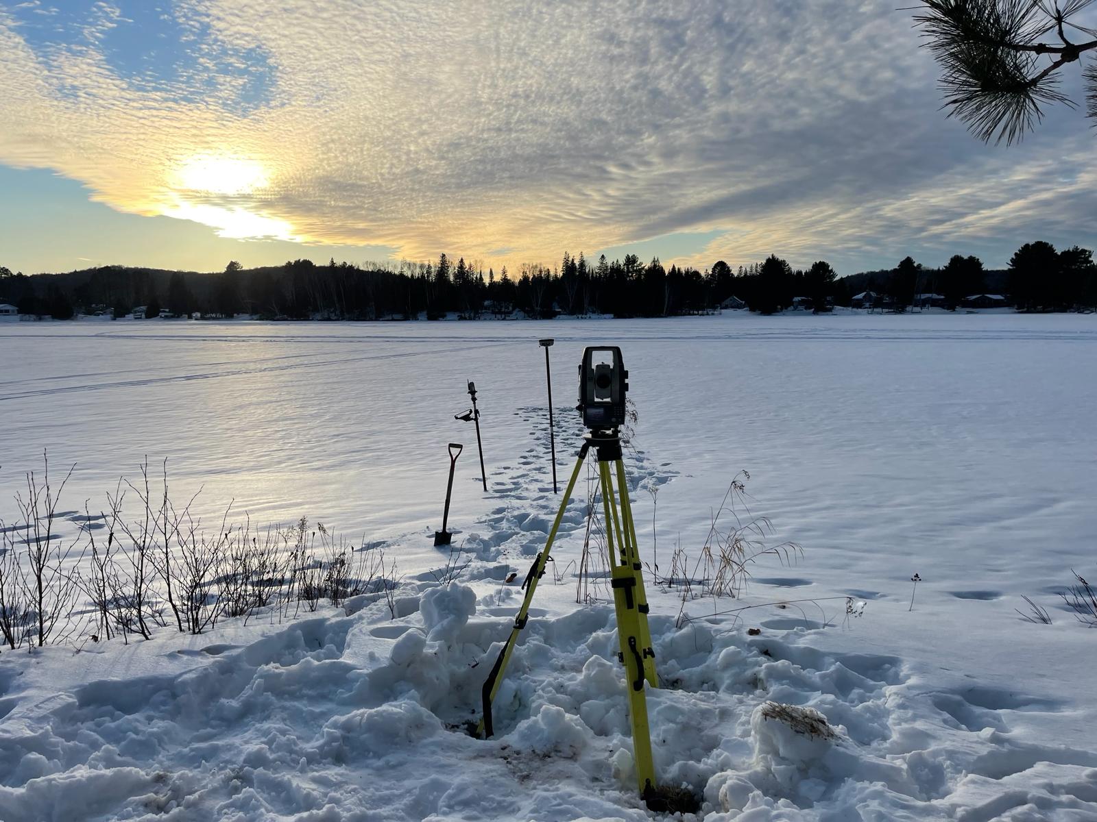
Topographic Services
Topographic surveys collect elevation data, terrain features, and site details used for engineering design, construction planning, and land development projects.
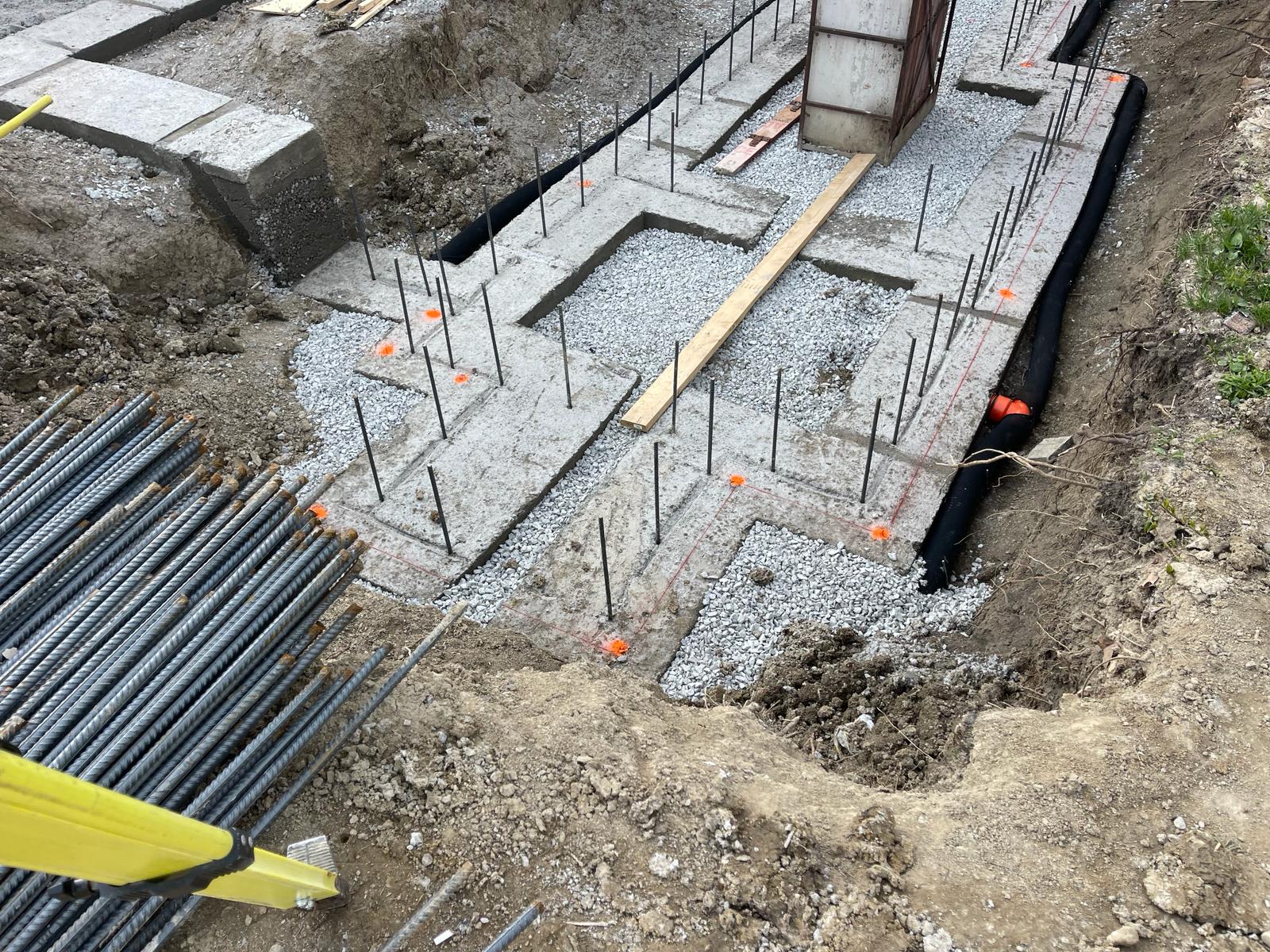
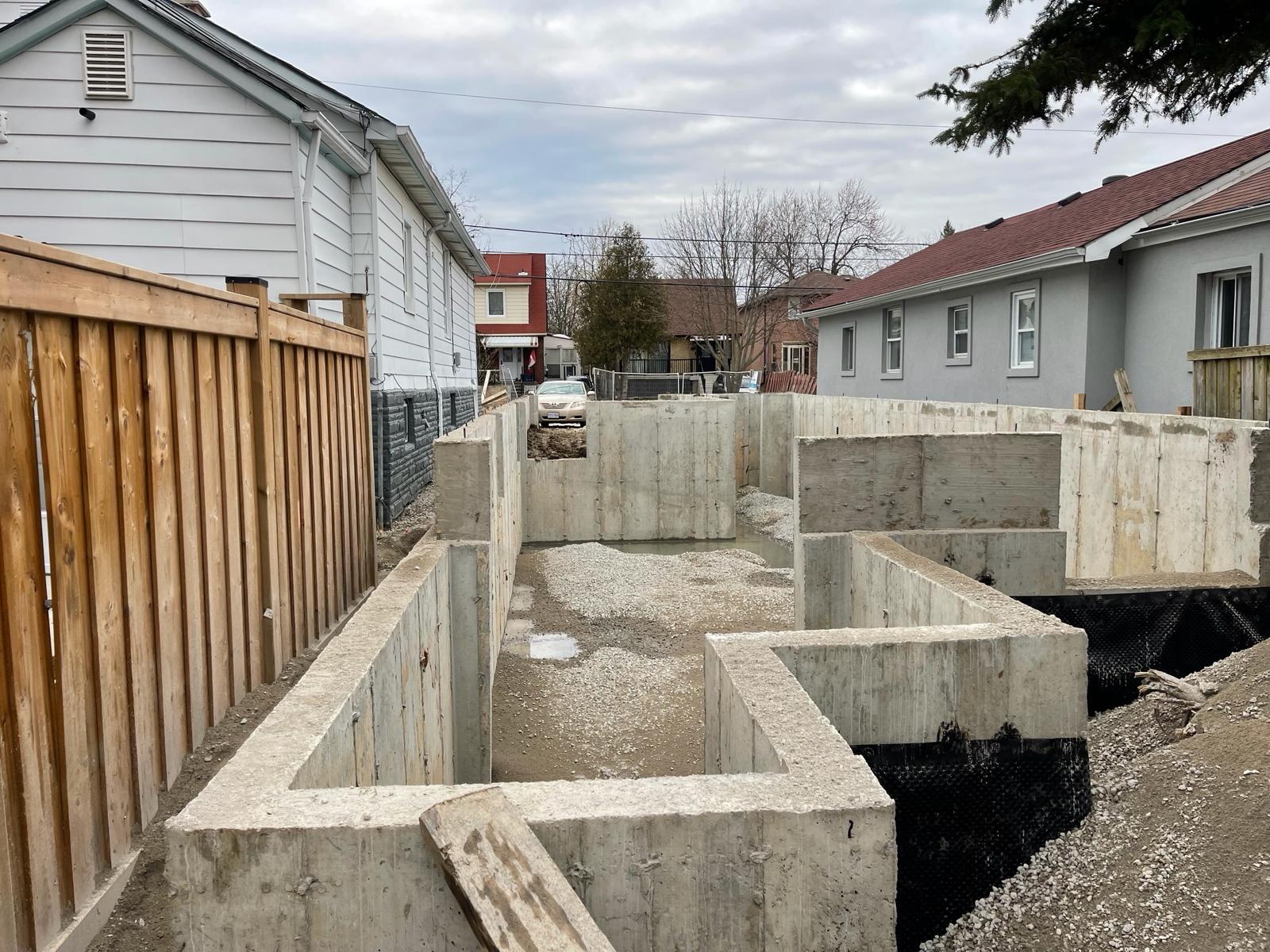
Land Development Surveying
Surveying services that support residential and commercial land development projects including site planning, layout surveys, and construction surveying.
Subdivision Development Services
Surveying and mapping services for subdivision planning and development including lot layout, road planning, and development mapping.
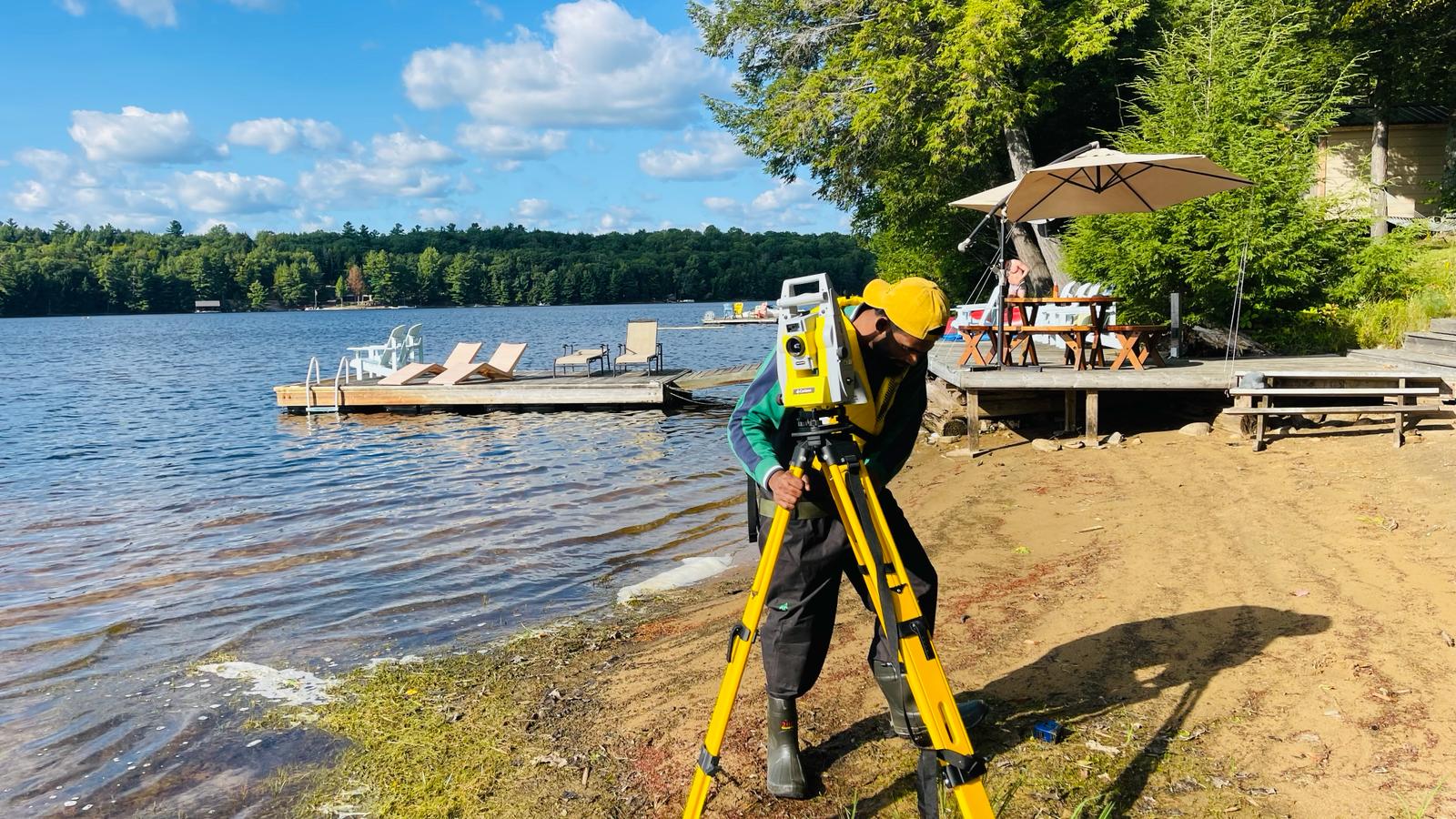
Reality Capture Drone Services
Drone surveying and aerial mapping services used for site imaging, 3D mapping, terrain modeling, and project monitoring using advanced reality capture technology.
Construction Layout Surveys
Construction layout and staking services ensure buildings, roads, and infrastructure are built in the correct location according to engineering plans.
Site Mapping and Survey Control
Establishing survey control points and site mapping used for construction, engineering, and development projects.
Land Measurement and Boundary Surveys
Accurate land measurement and boundary identification services used for property development, planning, and land documentation.
Survey Data Processing and Mapping
Processing survey data and producing detailed maps and drawings used for engineering, planning, and development projects.
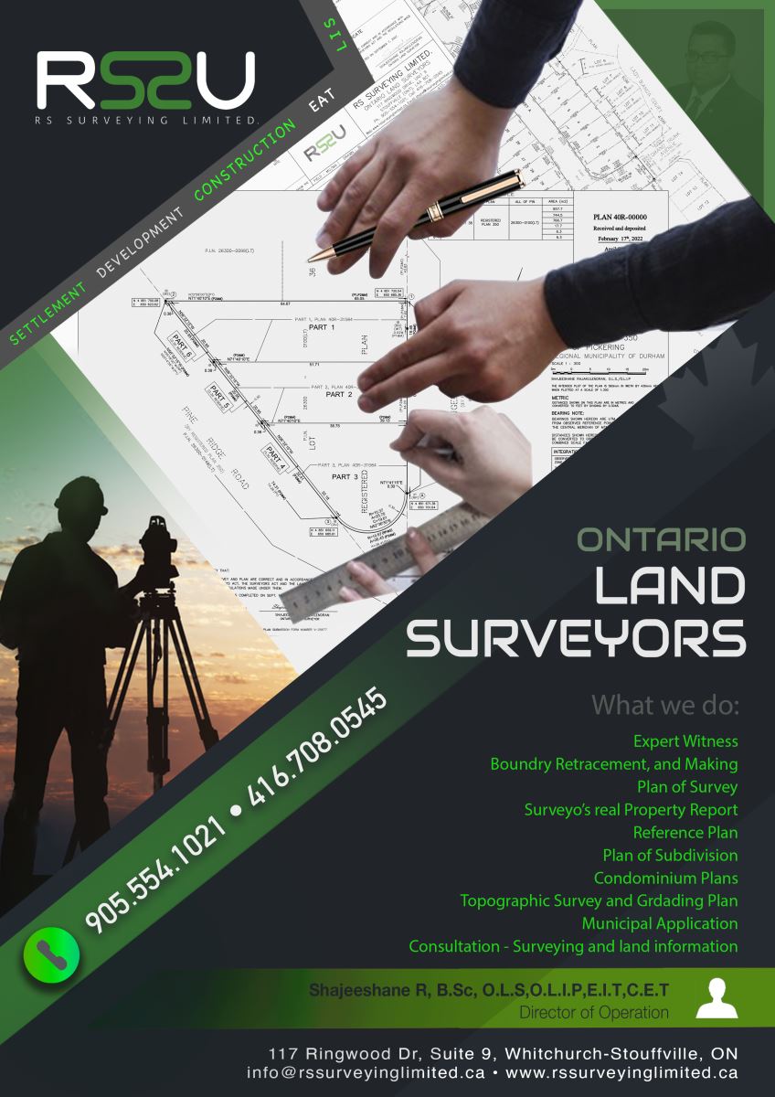
RS Surveying Ltd provides professional geomatics, surveying, and engineering support services for land development, subdivision development, and construction projects in Whitchurch-Stouffville and surrounding areas. With expertise in topographic surveying, land development surveys, and reality capture drone technology, the company delivers accurate data and mapping solutions that support planning, design, and construction. Their professional approach and modern surveying technology make them a reliable partner for developers, engineers, contractors, and property owners.
Products and Services in Whitchurch-Stouffville, Ontario
Add Review
Your email address will not be published.
Hosted byRS Surveying Ltd