 Rs Surveying LtdLand Surveyors
37 Sandiford Dr Suite 409, Whitchurch-Stouffville, Ontario, L4A 3Z2
Rs Surveying Ltd
Rs Surveying Ltd is a professional land surveying office committed to providing accurate, dependable measurement and mapping solutions for land, construction, and development projects. With advanced technology and industry expertise, we deliver clarity, precision, and confidence for every stage of planning.
Services Offered
🔹 Geomatics Engineering
Applying modern surveying science and spatial data technology to collect, process, and interpret geographic information for project planning and development.
🔹 Topographic Services
Detailed mapping of land features including elevation, natural formations, and built structures—essential for engineering, grading, and design preparation.
🔹 Land Development
Professional surveying support for property enhancement, rezoning, construction, infrastructure planning, and project execution.
🔹 Subdivision Development
Precise layout analysis, boundary establishment, and planning assistance for dividing land into lots for residential or commercial use.
🔹 Real Capture
Digital data capture using advanced tools that provide accurate 3D visual information for modeling, planning, and design review.
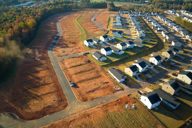
🔹 Drones
Aerial imaging and surveying using drone technology to collect high-resolution mapping data quickly and efficiently.
Rs Surveying Ltd combines experience, precision, and modern survey technology to support land planning and development with confidence. From surface mapping to subdivision layout and aerial capture, we ensure reliable results for builders, engineers, developers, and property owners.
Add Review
Your email address will not be published.
Hosted byRs Surveying Ltd
At Provincial Online Phonebook, we are passionate about helping businesses succeed in the digital landscape. With our comprehensive suite of digital marketing services, we strive to enhance your online presence, drive targeted traffic to your website, and ultimately boost your business growth.