Engineering Services in Kitimat, British Columbia
Klemetsrud Geomatics is a professional geomatics and surveying company based in Kitimat, British Columbia, supporting projects that require accurate measurement, reliable site data, and technical mapping solutions. With services connected to surveying, geomatics, civil construction, laser scanning, drone data collection, and marine control, the company provides important field and spatial information for construction, industrial, coastal, and development projects.
Serving the Kitimat area, Klemetsrud Geomatics helps clients make informed decisions through precise data collection and practical geomatics support. Their work is valuable for projects that depend on accurate positioning, site layout, terrain information, construction control, and marine related measurements. From land based survey work to advanced scanning and aerial data capture, Klemetsrud Geomatics offers services that support planning, construction, monitoring, and project verification.
Surveying
Klemetsrud Geomatics provides professional surveying services for projects that require accurate land measurements, layout support, and site data. Surveying is essential for construction preparation, property development, infrastructure work, and project documentation.
Geomatics Services
Geomatics combines surveying, mapping, spatial data, and measurement technology. Klemetsrud Geomatics uses geomatics solutions to help clients understand site conditions, collect accurate field information, and support technical project planning.
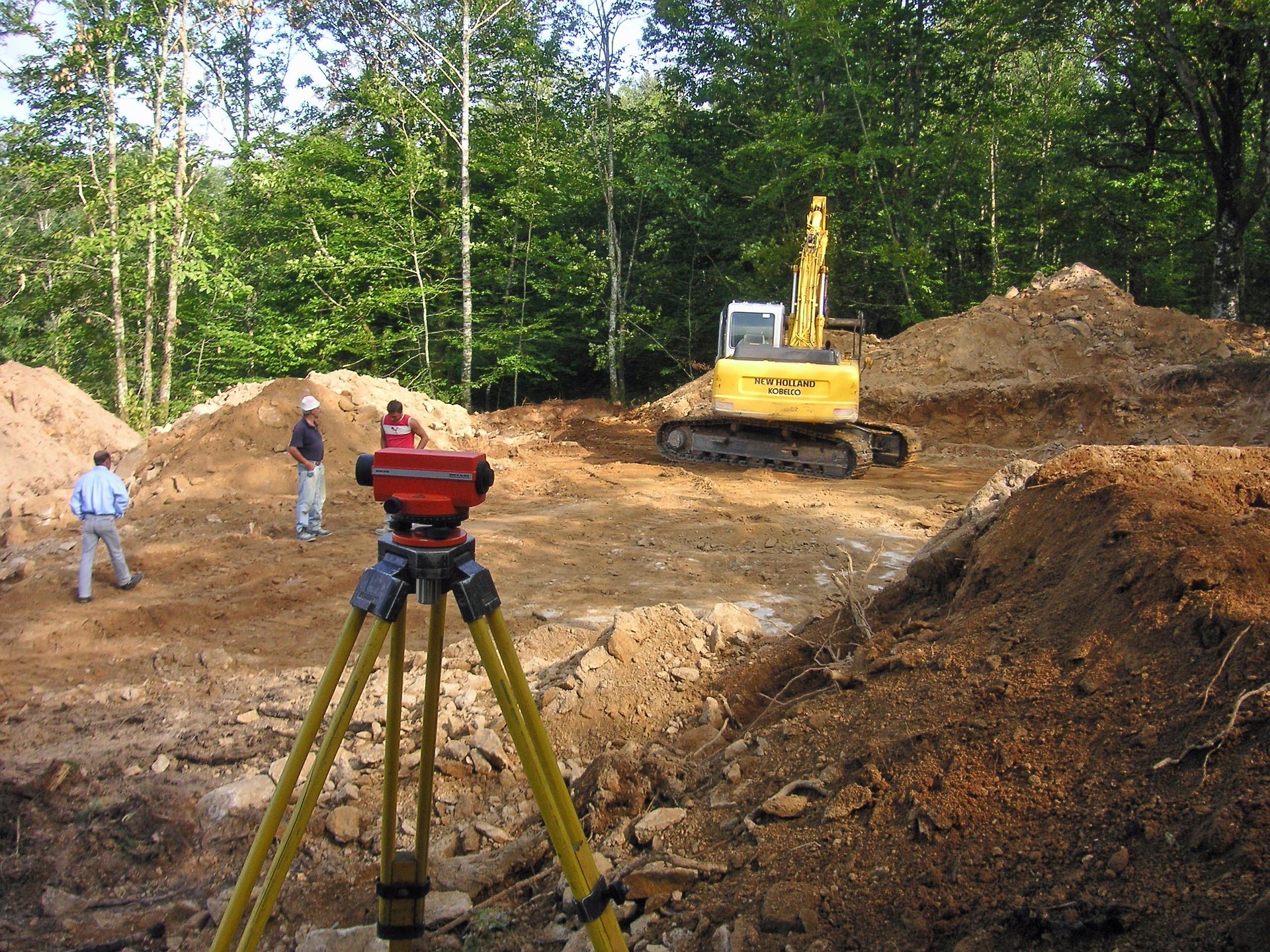
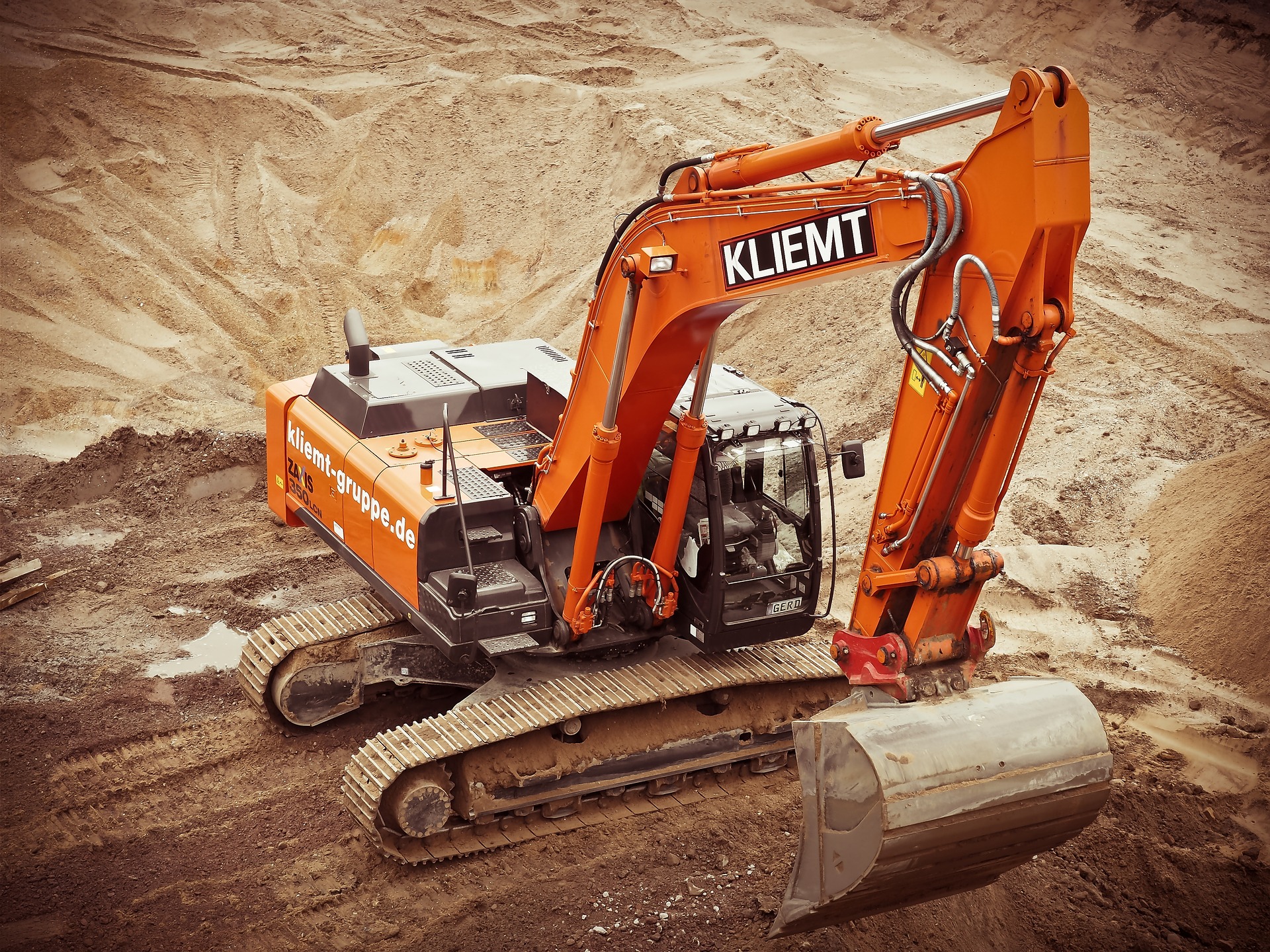
Civil Construction Survey Support
The company supports civil construction projects with measurement and layout services that help contractors build according to project plans. This may include site control, grade checks, construction layout, and field verification.
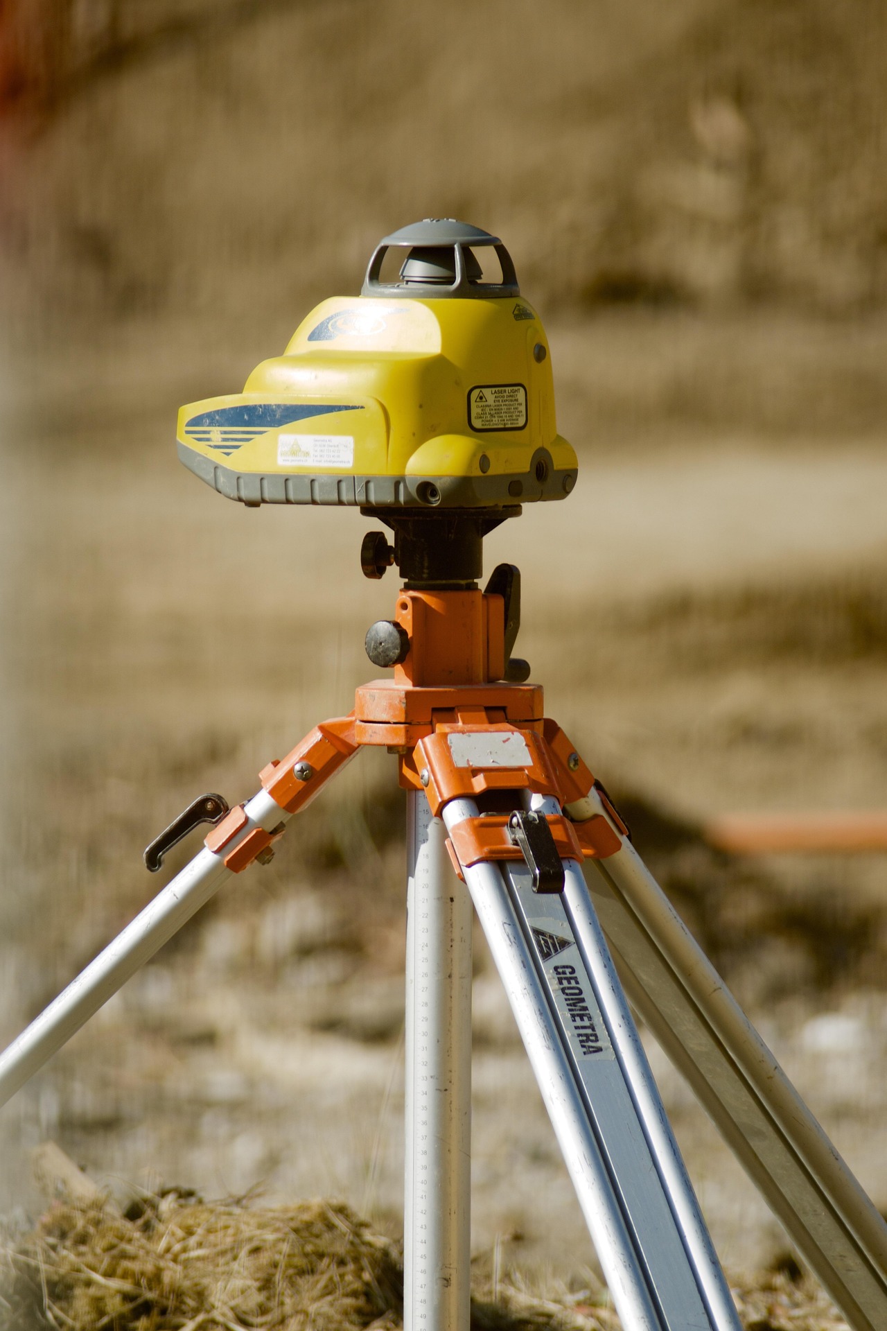
Laser Scanning
Laser scanning is used to capture detailed three dimensional site information. This service is useful for documenting existing conditions, measuring complex structures, supporting design work, and improving project accuracy.
Drone Data Collection
Drone services allow Klemetsrud Geomatics to collect aerial imagery and site data efficiently. Drone technology can support mapping, progress documentation, terrain review, and visual inspections for construction and industrial projects.
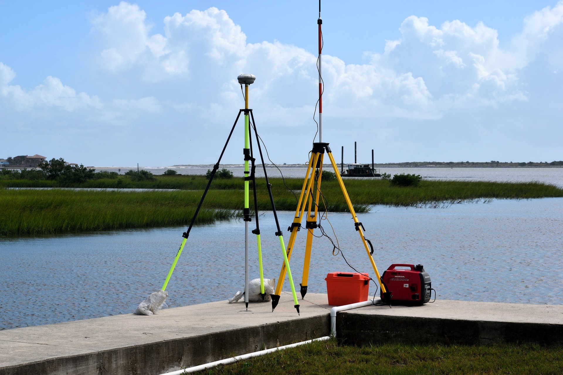
Marine Control
Marine control services support projects near or on the water where accurate positioning and measurement are required. This can be important for coastal construction, marine infrastructure, shoreline work, and industrial marine operations.
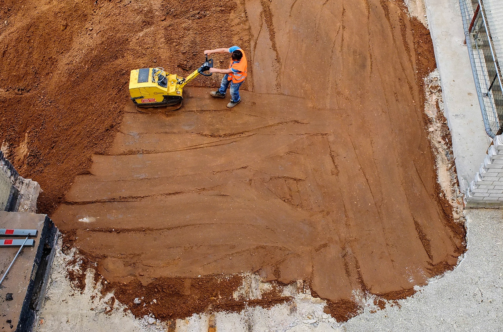
Construction Layout
Construction layout helps transfer project designs from drawings to the field. This service supports accurate placement of structures, utilities, roads, foundations, and other project elements.
Site Measurement and Data Collection
Accurate site measurement helps clients understand project areas before, during, and after construction. Klemetsrud Geomatics can provide field data that supports planning, design, and quality control.
Topographic Surveying
Topographic surveying helps identify land features, elevations, grades, and surface conditions. This information is commonly used for engineering, construction planning, drainage review, and site development.
As Built Surveying
As built surveying documents completed work and confirms the location or condition of constructed features. This service helps owners, engineers, and contractors maintain accurate project records.
Project Control Surveys
Project control surveys establish reference points that guide accurate construction and measurement throughout a project. Strong control data helps improve consistency across large or complex worksites.
Aerial Mapping Support
Using drone technology, aerial mapping support can provide useful visual and spatial information for construction sites, industrial properties, and remote project areas.
3D Site Documentation
Through laser scanning and geomatics methods, Klemetsrud Geomatics can help create detailed digital records of sites, structures, and project conditions. This is useful for design coordination, review, and future reference.
Industrial Survey Support
Industrial projects often require precise measurements, technical documentation, and reliable field data. Klemetsrud Geomatics supports these needs through surveying, scanning, and geomatics services.
Coastal and Marine Project Support
For projects connected to marine environments, accurate control and measurement are essential. Klemetsrud Geomatics provides services that support marine related planning, construction, and site verification.
Klemetsrud Geomatics is a valuable surveying and geomatics service provider in Kitimat, BC, offering practical solutions for construction, industrial, land based, and marine related projects. With services such as laser scanning, drone data collection, civil construction support, and marine control, the company helps clients improve accuracy, reduce uncertainty, and move projects forward with dependable site information.
Products and Services in Kitimat, British Columbia
Add Review
Your email address will not be published.